Hybrid Forest Mapping
GNSS priors + local constraints + weighted graph optimization.
Project →How mobile and robotic systems perceive, localize and act when global positioning is unreliable and the environment is only partially known.
CoHMI combines global priors, local geometric constraints, remote sensing, sensor fusion and machine-aware environment models. Forest environments are a demanding test case because GNSS accuracy degrades, obstacles are irregular, and geometric free space does not automatically mean traversability.
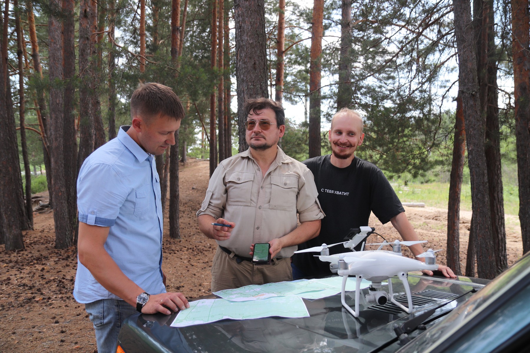
GNSS priors + local constraints + weighted graph optimization.
Project →Individual-tree detection, species classification and environment perception.
Project →Kinematic layer for manipulator motion coordination and machine-state representation.
Project →Route, trees, obstacles, deadwood, terrain and local traversability.
Programme →Operator-controlled and autonomous platform research across navigation and control.
Integration of GNSS, local geometry, remote sensing and onboard perception.
ICR 2026 · Springer LNCS 16790.
DOI ↗Forests 17(10), 1134.
DOI ↗Journal of Applied Engineering Science 24(3).
DOI ↗ Liudmila A. Steshina
 Igor V. Petukhov
 Evgenii N. Bogdanov
 Ildar Grigorev
 Daniil V. Galkin